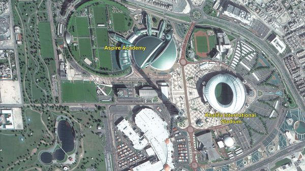
Imagine while walking home, unbeknownst to you, a camera on a satellite orbiting more than 500 kilometers above the earth, clicks images of precisely what you’re carrying in your hands.
Earlier this month, the Indian Space Research Organisation’s (Isro’s) Cartosat-3 satellite, proved it can do this —revealing a glimpse of what India’s “eyes in the sky” could “see” and, in the process, unlocking an array of strategic possibilities for Indian policymakers. Read More…


